Interactive Map Updates
Once a year, the Web Communications team dedicates time to give the Interactive Maps a graphical overhaul. With 5 campuses growing across 365 days, cataloging the changes can take a community! (That's where you come in.)
The following links will take you to the list of updates that have been identified for each campus.
If you find a physical feature (or a textual label) that is not adequately represented in either the Interactive Map nor found in the list of identified updates, send a helpful email to websystems@ung.edu so we can add it to the list!
Any supplemental visual material will greatly help: Hand-drawings, sketches over a printed map, technical blueprints (very nice), photos from a phone or a drone if you have proper flight approval, of course. Thank you for all your input in making our community map accurate and effective.
Current Updates by Campus:
- Dahlonega
- Gainesville
- Oconee
- Blue Ridge (none)
- Cumming (none)
Changes Requested Now
The "illustration layer" and "label layers" are being updated. This includes physical features and textual labels. (Defined below)
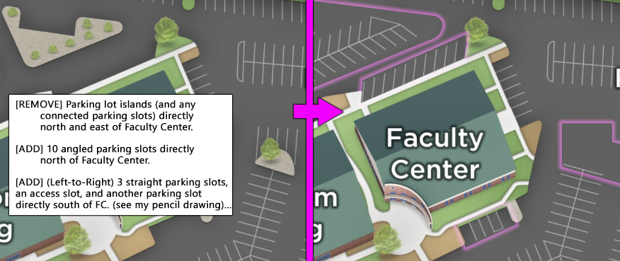
Physical features: Buildings, parking space lines, sidewalks, grass, hedgerow, forested area
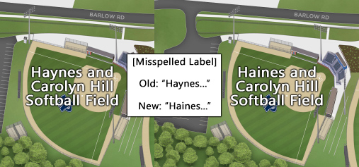
Full Text Labels: Building labels and parking lot labels
Changes Requested Later
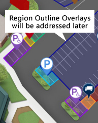
While we will need to know of these other changes eventually, elements that are on the "overlay layer" are not part of the artwork layer being updated at this time. These overlay elements include placed icons and the color-coded region outlines.
Placed Icons: Are used to designate a feature's "type" with a simple graphic inside a map marker (upside down teardrop shape.)
![]()
Translucent color overlays: Used to categorize/classify areas of the map (eg- whether a parking lot is designated as a "faculty" or "student" lot, etc.)