Geopaths Mentorship Program
The Shadowing Research and Mentorship Program (SRMP) aims to provide an opportunity for high school students to be exposed to geoscience research projects with faculty at UNG. Nine high school students each year will be eligible to apply for a summer shadowing program held for two weeks at UNG during Summer 2023 and Summer 2024.
This program aims to expose high school students to geoscience applications in the real world with an emphasis on an inclusive approach for students with disabilities, English learners, and first-generation students. Students will receive up to a maximum of $700 stipend upon successful completion of the program. Stipends will be calculated based on the completion of daily online and in-person activities and assignments.
Participation Dates:

The National Science Foundation
IUSE: GEOPAths-IN project
2021-2024 (Ongoing)
Grant Project Number:
2119990
Choose a Project
These are the three projects students can choose to participate in this year.
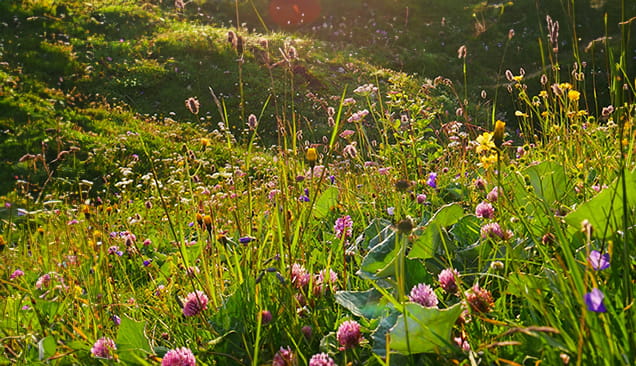
Project 1: Exploring the Floral Diversity of Georgia’s backyard through the lens of Geology and Chemistry
Much of the flora in ecosystems are influenced by biogeochemical processes. Join Mr. Matt Palmer and Dr. Tom Diggs as they lead students through hands-on experiences with photomicrographs and rock hand samples to perform mineral analysis; mapping the geological makeup of the Piedmont ecoregion in Georgia. While in the field, you will catalog both the diversity and the distribution of the local flowers and compare them against the geological and chemical data you have collected (along with other real-world numbers from MRDATA, the Rockd app, and the UNG geological database) to unveil a clear picture the impact geology and chemistry have on local plant species.
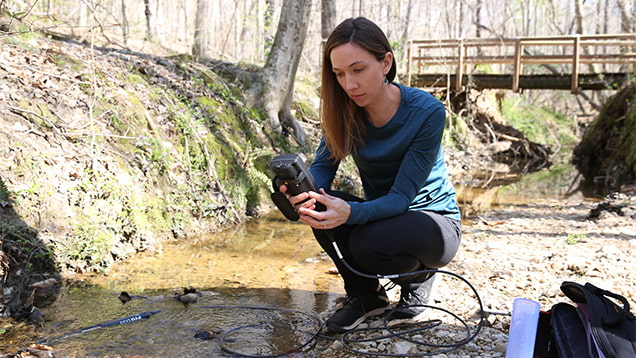
Project 2: South Georgia Groundwater Contamination Studies and Susceptibility Modeling
Agricultural-use of groundwater combined with record-breaking droughts has caused the aquifers in Georgia watersheds to become critically depleted; increasing their vulnerability to the issues of soil subsidence and contamination. We will develop an automated geospatial model to help inform environmental managers, land-use planners, and other stakeholders about the susceptibility of local watersheds and guide their decisions around water-harvesting structures to enhance groundwater. Dr. Sudhanshu Panda and Dr. Chris Seminack will demonstrate how to use ArcGIS ModelBuilder to process temporal DEM-based ground-elevation-change analysis with a soil subsidence study to create a DRASTIC model tracking hydrogeologic factors such as: the (D)epth of the aquifers water, the net (R)echarge of the aquifer, the (A)quifer media, (S)oil media, the surface (T)opography, the (I)mpact of the vadose zone, and the overall hydraulic (C)onductivity.
Project 3: Dynamic Mapping, Urban Analysis, and Design Planning of City Environments in Georgia
Global cities (especially those in the Southeastern United States) are becoming increasingly congested as the world's population continues to shift into these influential areas. Alongside accelerating climate change increasing the strength and frequency of destructive weather systems, additional care and precision is now more crucial than ever for urban analysis, city planning, and engineering design to create safe, sustainable landscapes that can insure the future security of these volatile locations. Dr. Steve Fleming and Dr. Leilei Duan will summarize the history of city mapping and introduce the more-recent advancements in engineering design, eventually giving students a tantalizing taste of urban analysis through current GIS software to assess the dynamic environment of popular cities.
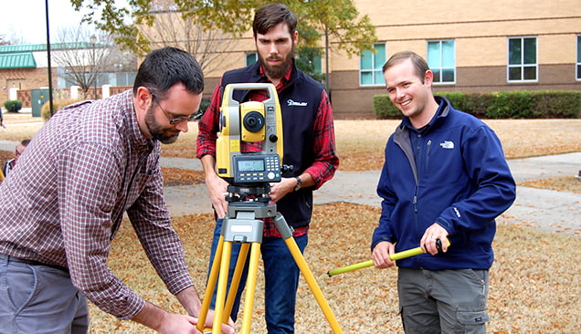
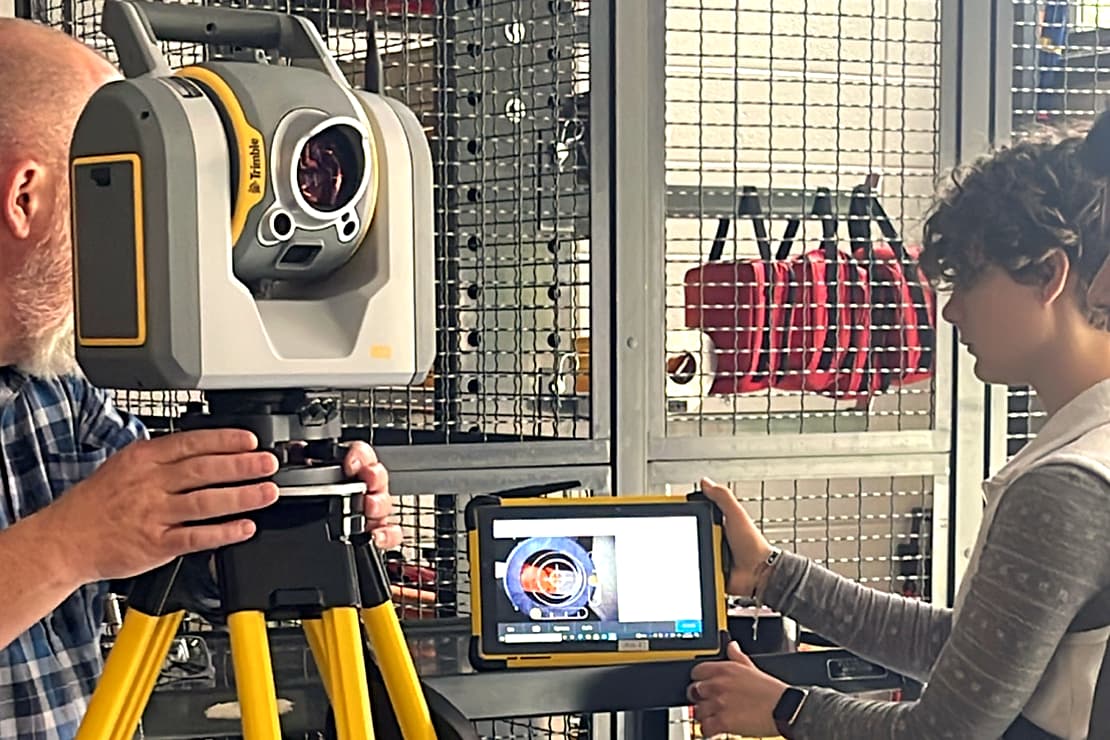
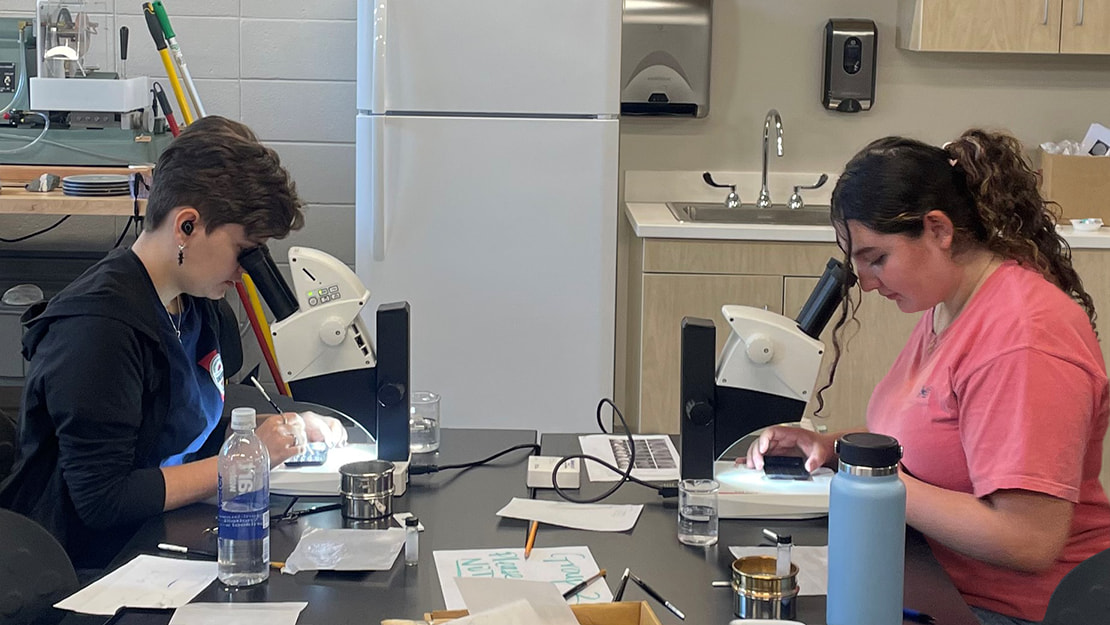
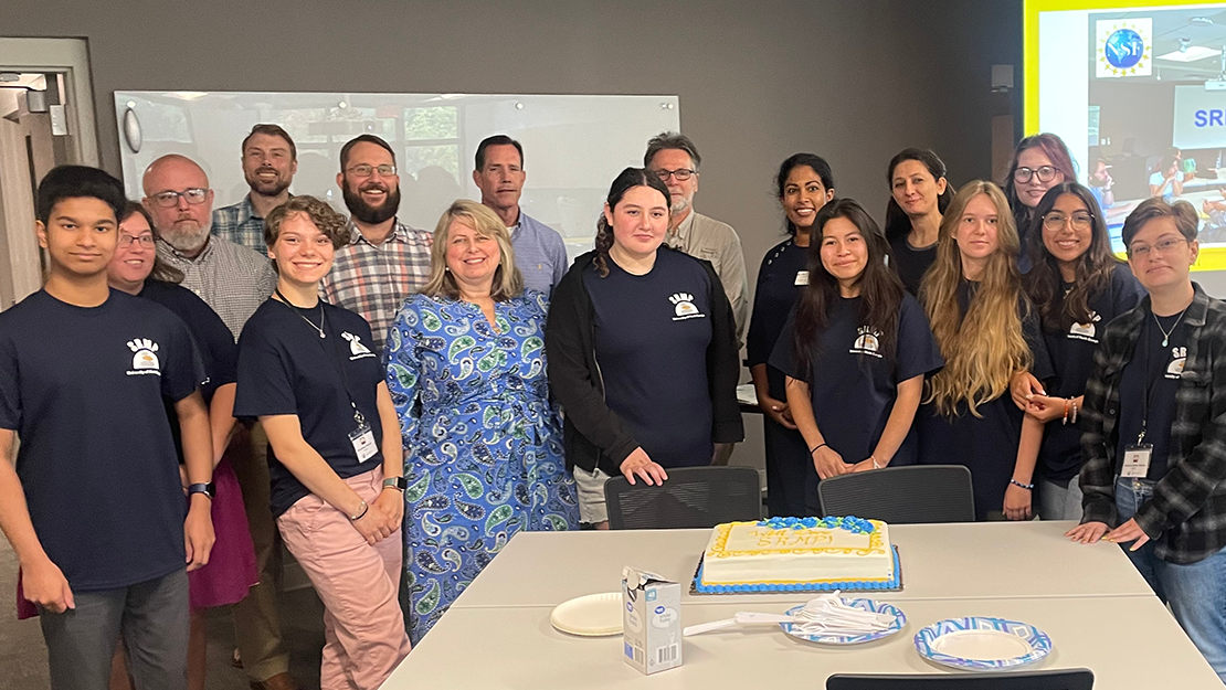
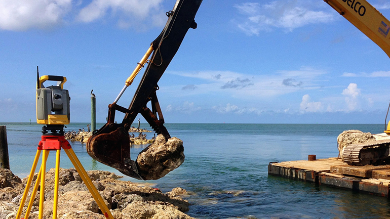
Photos from Last Year
Projects from Last Year
Last year we had these three projects for students to choose from.
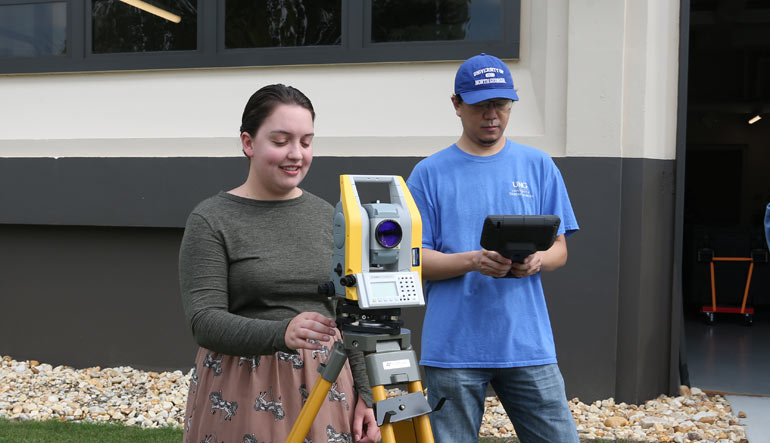
Project 1: Change Detection using a UAS-mounted LiDAR system
Experience using Unmanned Aerial System (UAS or drone)-mounted LiDAR (light detection and ranging; it is similar to sonar or radar but with lasers!) to monitor hillslope erosion related to a gully system on UNG's Gainesville campus. Data collected by this research endeavor will be compared to data collected during the previous spring to determine seasonal change in the areas that are surveyed during the summer.
Additionally, students will participate using traditional surveying methods to gain on-the-ground perspectives that will help them interpret the aerial data collected by the UAS.
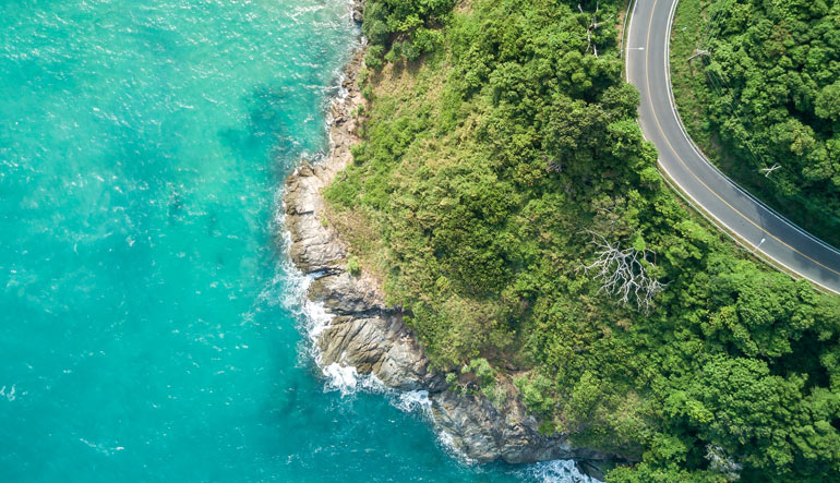
Project 2: Using Multiple Methods to Analyze Coastal Change Through Time
Search the National Oceanic and Atmospheric Administration (NOAA) database for historical nautical charts to document the historical position of barrier islands. You will georeference, or overlay the maps in their “real-world” position within ArcGIS. The outline of coastal features will be digitized for each of the historical maps. Statistics will then be calculated regarding barrier island change over time, such as distance the barrier island has moved over time, or rate of barrier island movement.
You will compare shallow marine sediments from these barrier islands with deep marine sediments (e.g. foraminifera) using hand samples and microscopes to analyze former depositional environments.
Project 3: Dynamic Mapping of Coastal Landscapes for Engineering Design Applications
Students will have get to assess the dynamic environment of coastal landscapes followed by a change mapping experience using current GIS software. Coastlines are becoming more congested across the world as more people move to these critically important places. Engineering design solutions attempt to create safe and sustainable landscapes.
Acknowledging that climate change is promoting the strength and frequency of weather systems that often impact these locations, geospatial intelligence solutions are increasingly becoming necessary to insure the future security of communities in these volatile locations. Students will learn about the history of coastal mapping and engineering design advancements while exploring and applying current technologies for dynamic mapping and coastline management.

SRMP Contacts
Principal Investigator (PI)
- Katayoun Mobasher, Ph.D.
Professor of Geology and Geospatial Technology
Co-Investigators (Co-PIs)
- Adrianna Rajkumar, Ph.D.
Lecturer of Geosciences - Cristina Washell, Ed.D
Department Head, Elementary and Special Education (ESE) - Jeff Turk, Ph.D.
Dean of IESA
Personnel
- Sharon Hoffmann, Ph.D.
- Jake McDonald, Ph.D.
- Chris Seminack, Ph.D.
- Steve Fleming, Ph.D.
- Tom Diggs, Ph.D.
- Sudhanshu Panda, Ph.D.
- Leilei Duran, Ph.D.
- Dale Caldwell
- Matthew Palmer