Alumni Focus
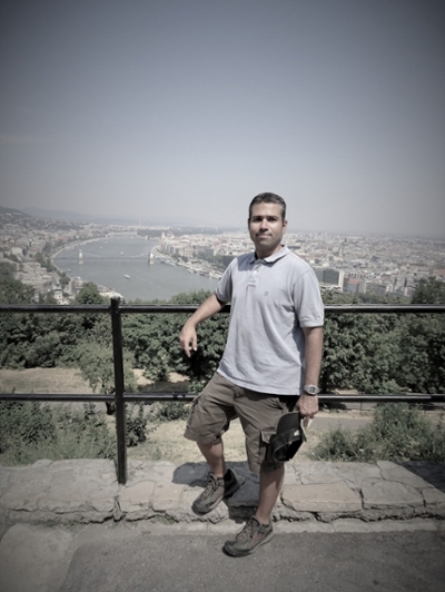
Eduardo Rendon (UNG '13 - GIS Certificate)

Institute for Environmental and Spatial Analysis (IESA) regularly features graduates from its Bachelor of Science in environmental spatial analysis (ESA) and certificate programs in its "Alumni Focus." Because our graduates are hired for public and private sector jobs and accepted to graduate schools at a very high rate, we wanted to highlight these outstanding students and find out what made their experiences at the University of North Georgia (UNG) so unique.
Where you are currently employed / enrolled?
I’m currently working on my master’s degree in environmental planning and design at the University of Georgia. I’m also a graduate assistant and currently working as a consultant for NASA DEVELOP through UGA.
What are the function(s) of your company or organization? What do you do at the organization?
DEVELOP is part of NASA’s Applied Sciences Program and addresses environmental and public policy issues through interdisciplinary research projects. I’ve been selected in a consultant role for this organization supporting the University of Georgia.
If enrolled in graduate school, where, and what are your research interests?
I’m currently enrolled in the Environmental Planning and Design graduate program at the University of Georgia and I’m currently focusing my research on the application of remote sensing in urban planning.
Describe the most challenging or enjoyable project you have worked on since graduating that involved geospatial technology.
It is hard to say which project has been the most challenging or enjoyable, but if I had to pick one, I’d say the water budget and watershed management in Costa Rica through NASA DEVELOP. In this project we used different geospatial technologies to create a SWAT (Soil and Water Assessment Tool) model to simulate the local hydrology using NASA earth observations and other external data sources.
What was your primary motivation for earning the IESA degree / certificate?
As a geographer, I’ve been always curious finding that inspiring (and maybe utopian) representation of the best scenarios for a better world. So, my passion for understanding the complexity of spatial issues was my main motivation for choosing and earning my certificate in IESA, one of the best institutions.
What are the top skills that you acquired in the program that have helped you in your current position?
My improved GIS and remote sensing skills acquired at IESA have helped me get my foot in the door with several different and interesting projects. IESA also taught me how to be flexible using different pieces of software related to GIS and remote sensing.
Thanks, Eduardo!